Where to Paddle
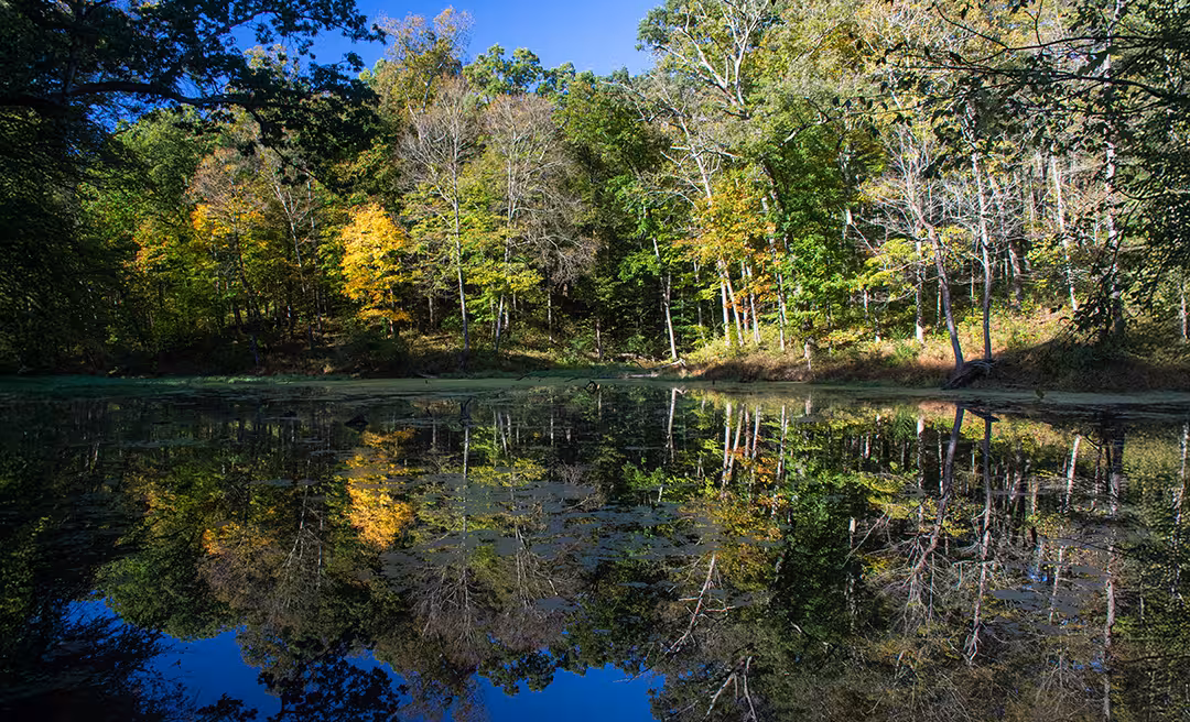
Paddlers can access the Great Miami River, Little Miami River, Ohio River and Great Parks' lakes from kayak launches situated at destinations around the region.
Hit The Water!
Paddlers can access the Great Miami River, Little Miami River, Ohio River and Great Parks' lakes from kayak launches situated at destinations around the region.
As the largest park, Miami Whitewater Forest offers everything from scenic trails to stand-up paddleboarding, to golf and camping.


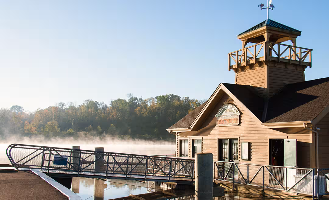
Inspired by established county park systems, former Cincinnati Mayor Murray Seasongood led the movement for Great Parks' founding in 1930, then known as the Hamilton County Park Board. Plans to acquire large tracts of land soon followed, and by 1932, Sharon Woods opened to the public as Great Parks' first official destination. Boasting a rich geological history and wide-ranging recreational opportunities, it remains a generational fixture in the lives of Greater Cincinnatians.


With trails, fishing, horseback riding, golfing, camping, picnic areas and playgrounds, Winton Woods has something for guests of all ages, abilities and interests.

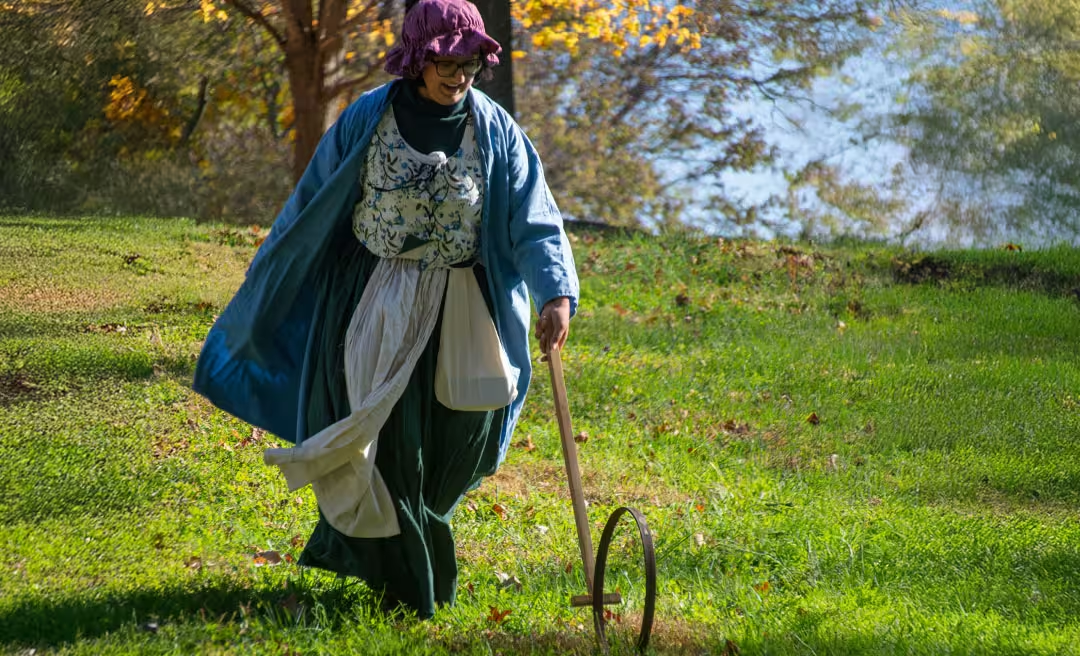
Shawnee Lookout is a beloved hilltop retreat known for its deep ties to regional history and Native American heritage. With sweeping views of the Ohio River Valley and remnants of the past scattered throughout its landscape, Shawnee Lookout is a place for guests to explore scenic paths, roam open green spaces and connect with stories that stretch back generations.


From golf to paddling to mountain biking, the Little Miami Scenic Corridor offers something for everyone and access to the Little Miami Scenic Trail system.
Nestled along the Little Miami River in Loveland, Lake Isabella is a peaceful spot for fishing, camping and picnicking. With shady campsites, stocked waters and scenic views, it's a natural escape for outdoor fun.
Along the Little Miami River in Cincinnati's Linwood neighborhood, guests and their four-legged friends explore open green spaces, paved trails and a spacious dog park, while paddlers enjoy canoe access for a leisurely day on the water. Otto Armleder Memorial Park is jointly managed and operated by Great Parks, the Cincinnati Park Board and the Cincinnati Recreation Commission.


Overlooking the Ohio River in Anderson Township, Woodland Mound is a hilltop escape full of family-friendly fun. With wooded trails, panoramic views, interactive nature exhibits and play areas for all ages, it's the perfect spot to stroll, stretch, splash and stargaze.
Reel in your next big catch at four tranquil, secluded lakes nestled along the Whitewater River.
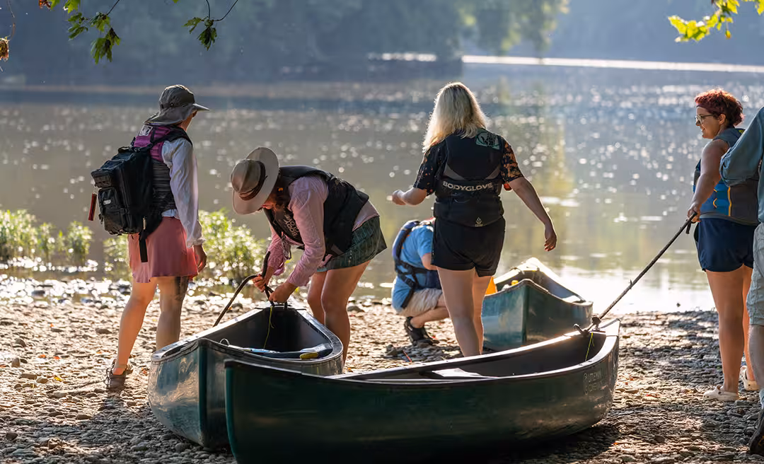
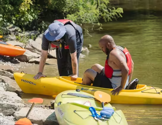
Launch Into Adventure
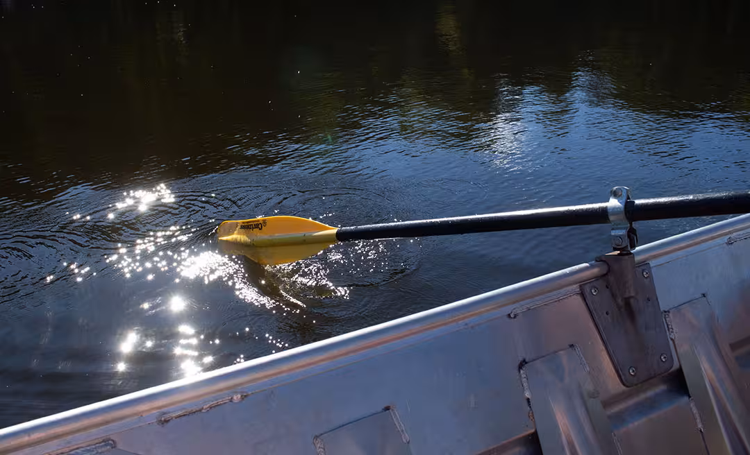
Guided by American Canoe Association-trained and certified instructors, beginners, novice or advanced paddlers looking to refine their paddling skills, experience thrilling on-the-water adventures in kayaking, canoeing and paddleboarding from late May through September. Start your journey on the calm waters of Winton Lake and build up to exhilarating trips on the Little Miami and Great Miami rivers. Great Parks’ paddling programs emphasize skill development, safety and maneuverability, ensuring a fun and safe experience for all.
All equipment is provided. Must be 10 years or older. All children must be accompanied by an adult.
| Park | Rowboats | Pedal Boats | Canoes | Kayaks | SUPs | Motorboats | Mini Pontoon Boats |
|---|---|---|---|---|---|---|---|
| (from $16) | (from $16.25) | (from $17.50) | (from $37.75) | (from $92.50) | |||
| Miami Whitewater Forest | ✓ | ✓ | ✓ | ✓ | ✓ | ✓ | |
| Winton Woods Harbor | ✓ | ✓ | ✓ | ✓ | ✓ | ✓ | ✓ |
| Sharon Woods Harbor * | ✓ | ✓ | ✓ | ||||
| Lake Isabella * | ✓ | ✓ | |||||
* Sharon Woods boat rentals will be available at the temporary boathouse beginning May 28, 2026, due to construction in the Harbor area.
** Prices higher at Lake Isabella. Call for details
Get on the Water
Sunset Canoeing
Standup Paddleboard Float
Skimming the Shores
Adult Evening Float: Kayak
Kayak Basics: Safety & Rescue
More Events
An accessible canoe/kayak launch is available at Miami Whitewater Forest Lake.
Know Before You Go
Boating Policies
Boat and Bike Rental Guidelines


